The snow has come to an end for most in southern Ontario, despite lingering lake-effect flurries and squalls for some areas.
Snow squall watches and warnings were replaced with winter weather travel advisories mid-morning Tuesday, before eventually dropping off altogether.
A few scattered flurries are possible but most will enjoy a mix of sun and clouds as they continue to clear snow Tuesday afternoon.
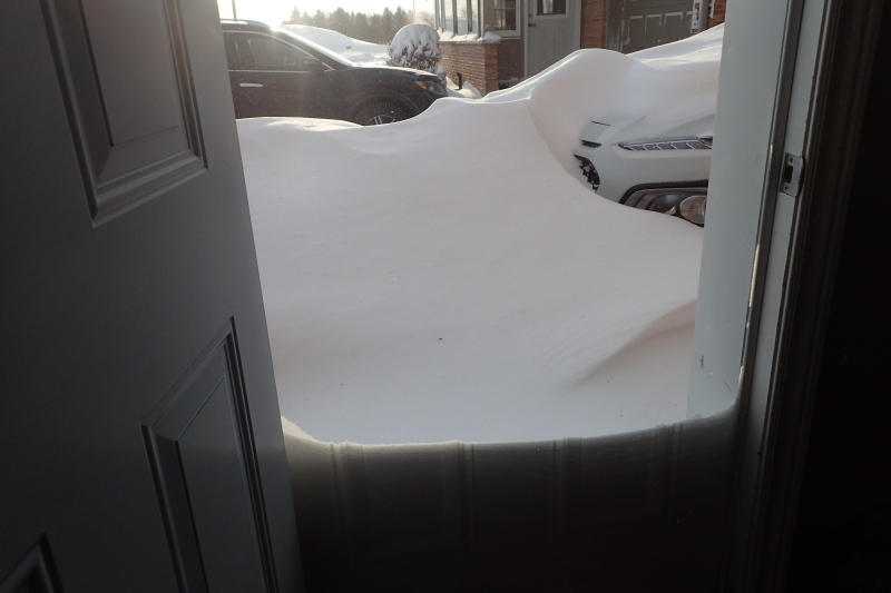
Environment Canada has updated its weather summary from Monday night's storm, showing Waterloo recorded 35 cm of snow, while Kitchener picked up 28 cm.
Toronto saw a range from 40 cm to 48 cm, closing roads and leaving drivers stranded in what has been a memorable winter storm for the region.
Environment Canada says the snowfall amounts reported at Toronto Pearson International Airport and Ottawa International Airport fall within the top ten highest snowfall totals reported in a single snowfall event for each of these sites.
More snow is on the way
As one system departs, another one approaches. An Alberta Clipper is set to bring widespread snow to the region, along with strong winds and a brief warm-up.
Periods of snow are forecast to begin Tuesday night and continue through early Wednesday dropping around 2 cm to 5 cm of snow. Winds will transition to become southerly, gusting from 30 km/h to 50km/h Tuesday night through early Wednesday.
The temperature is also forecast to gradually rise to 0 degrees Celsius by Wednesday morning in Waterloo Region. Some locations, especially along the lakes could see this precipitation fall as mixed precipitation or even rain, as temperatures rise above freezing for some areas. Snow will wind down through the afternoon and evening.
Behind the cold front, temperatures will fall to -5 C in Waterloo Region by Wednesday afternoon with a bitter wind chill of -13 C. Strong westerly winds of 30 km/h to 50 km/h will fire up more lake-effect flurries and snow squalls, especially for snow-belt regions south and east of Georgian Bay and Lake Huron. Five to 10 cm of snow could fall in some of these locations including in parts of Huron, Perth, Northern Wellington and Grey and Bruce Counties.
Meanwhile snow events continue in several local municipalities, meaning parking on city streets is prohibited.
