
KITCHENER -- A potent low pressure system brought periods of rain, snow, and damaging winds to the province Monday.
Widespread wind gusts of 50-70 km/h caused power outages, damage and flooding in parts of Southern and Eastern Ontario, while in Northern Ontario heavy snow fell.
Waterloo-Wellington clocked a wind gust of 80 km/h, while Port Colborne saw winds of 96km/h. These totals from Environment Canada are as of 2 a.m. Tuesday.
Cove Island and Killarny both recorded a wind gust of 100 km/h during the wind storm, Brantford 76km/h and Windsor 85km/h. Those strong winds caused lakeshore flooding in Norfolk and Haldimand Counties among other areas, prompting officials to close roads.
Meanwhile, 45 cm of snow fell in Kapuskasing and Timmins recorded 6 hours of freezing rain.
@weathernetwork @StormhunterTWN @stormwx1 @WGRZ @weatherchannel Lake Erie waves in Haldimand County. #onwx #onstorm pic.twitter.com/qTMk5loxJE
— kyle (@kdjt89) April 14, 2020
Lake Erie gettin’ quite snarky �� along Beach Road. @StormhunterTWN @weathernetwork pic.twitter.com/bgGaR07eDA
— Derek Rivers (@dwrivers47) April 13, 2020
Several trees downed on the roads and erosion continuing #ONstorm #ONwx #LakeErie #PeleeIsland pic.twitter.com/bpPIf3zEQJ
— Ian Sinclair (@iansinclair86) April 13, 2020
The scene in Lighthouse Cove when I was there earlier. I had missed the peak which was 5-6" higher. #ltvca#onstorm #lakeshore pic.twitter.com/LNelO98ISm
— Jason Homewood (@Jason_Homewood) April 13, 2020
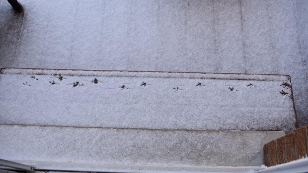
Many woke up to a dusting of snow Monday morning in Southern Ontario as the temperatures took a tumble.
Strong winds, flooding hit Southern Ontario
Wind gusts Tuesday are forecast to slowly ease, but WSW winds gusting 30-50 km/h combined with the cool air could produce on and off lake-effect flurries or showers Tuesday and Wednesday.
Temperatures are expected rise to near seasonal by the weekend.


