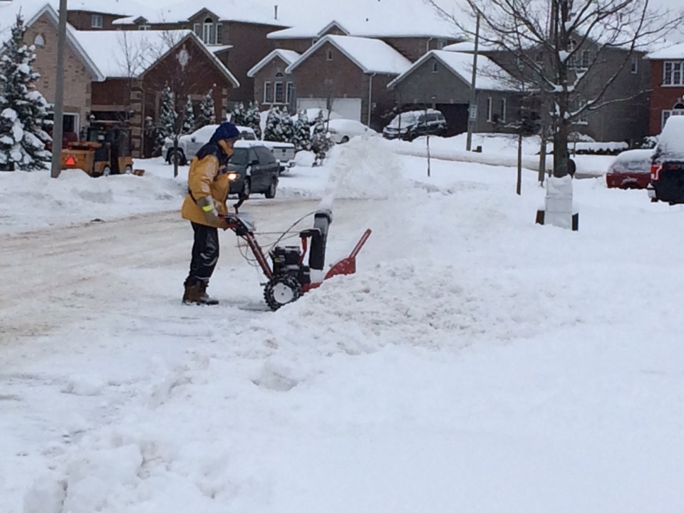
It’s not technically winter for another nine days, but it’s sure looking a lot like the coldest season in southern Ontario.
A low-pressure system that started in Colorado and moved eastward gave our region its biggest snowfall so far this year.
The snow started falling in earnest during the day on Sunday, and continued until Monday morning.
As of 11 a.m. Monday, Environment Canada was reporting that 15 cm of snow had accumulated in Kitchener.
While that number was about average for this part of the province – Cambridge and Caledonia each saw 16 cm – some communities to the west got even more snow.
A total of 23 cm of accumulation was recorded in Seaforth, while Windsor topped the charts with 29 cm.
Pearson International Airport recorded 17 cm of snowfall, while 16 cm was seen in Ottawa.
Environment Canada is expecting Waterloo-Wellington to see about 2 cm of accumulation as flurries continue to fall off-and-on through Monday, with a chance of flurries continuing into Monday night and Tuesday morning.
Temperatures are forecast to remain below the freezing mark all week long, with a significant cooldown beginning late Tuesday.
Local municipalities had declared snow events and banned on-street parking while plows worked to clear snow from the roads.
The City of Kitchener’s snow event was announced as ending at 9 p.m. Monday. City officials said plows would be out at 7 a.m. Tuesday to do a second full plow of the city.
