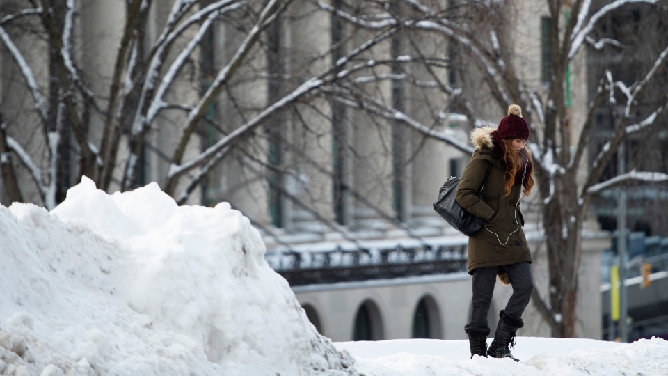
KITCHENER -- We are about halfway through the month of January and temperatures have remained on the mild side of seasonal.
The temperature at the Region of Waterloo International Airport has only hit -10 degrees Celsius twice this year: once on Jan. 1, when it reached -10.8 C, and once on Jan. 8, when it hit -11.5 C.
For Waterloo Region, a seasonal daytime high is about -3 C with a low of around -11 C.
Although it’s felt like much of Southern Ontario has received a break from winter, temperatures will take a tumble and head back to near seasonal behind the current system impacting the province with rain and snow.
IMPACTS THE POLAR VORTEX COULD HAVE ON OUR WEATHER
The term "polar vortex" is one that often pops up throughout the winter season and can have people worried about what’s to come.
According to the National Oceanic and Atmospheric Administration (NOAA), a polar vortex is a large area of low pressure and cold air surrounding both of the earth's poles. It always exists, but can weaken and strengthen.
"The polar vortex will expand, sending cold air southward with the jet stream," the U.S. government site said.
Canadian weather agency officials say we will likely see an example of this strengthening near the end of January.
"It looks like a temporary change to cold mid winter weather will happen for the last week of January," said Environment Canada Meteorologist Rob Kuhn.
"From what I now see, the colder pattern will probably last 1 to 2 weeks if we’re lucky (for those who love cold mid-winter weather)."
"Given that this is the coldest time of the year, having average highs near -5 and average lows near -15 for a few days will feel cold to most folks as we’ve been quite mild so far this month."
Kuhn says he expects the seasonably cold weather to last into early February.
"We should get a solid week to 10 days of below freezing weather," he said.
"However even as of today, I have seen some hints of potential for brief thaws during the late January and early February period over southern Ontario. If that happens, look for big swings in temperatures again.”
He said the coldest air is forecast to settle over the prairies, across northern Ontario and central-to-northern Quebec. Cold arctic air could also visit the area around the Great Lakes, including southern Ontario and Quebec.
It is typical to see the cool down across Canada mid-January, but the Polar Vortex isn't going to impact everyone equally, partially due to a La Niña: a warm weather pattern currently over the Pacific Ocean.
“Just the wind pattern that sets up, it looks like the cold air from this latest breakoff from the polar vortex is going to hang more over western Canada. Now not to say that we won’t get any cold air, maybe a couple of cold shots here and there,” Frank Seglenieks, Weather Station Coordinator at the University of Waterloo.
The long range forecast for Waterloo Region see temperatures cooling down, but trending more towards seasonal.
From 1981 to 2010, the temperature at the Region of Waterloo International Airport sees an average of six days with minimum temperatures of -20 C or below. The airport normally gets roughly 45 days with minimum temperatures of -10 C or colder.
The coldest temperature the airport ever recorded on record was -34.1 C on Feb. 16, 2015.
Kuhn said that it's very normal for some of the vortex to reach the region, especially in the winter.
