Will this be the week farmers, lawns and river levels get a boost from Mother Nature?
It’s possible – but as of Monday afternoon, it’s far from a sure thing.
A low pressure system and accompanying cold front are developing west of the Great Lakes, and expected to arrive in Ontario later this week.
Models suggest the bulk of the precipitation could fall in central or even northern Ontario, but southern Ontario may also see some rainfall.
Environment Canada is forecasting Wednesday as having the best chance of precipitation, with a 40 per cent chance of showers for both the daytime and nighttime hours in Waterloo-Wellington, Huron-Perth, Oxford-Brant and Grey-Bruce.
While early forecasts suggest a dry Thursday, rain is again potentially in the cards Friday, with more regions seeing a 30 per cent risk of rain (40 per cent in Oxford-Brant).
One thing more certain is that temperatures will remain a little above seasonal averages at least through midweek.
Forecasts call for daytime highs hovering around the 30 C mark on both Tuesday and Wednesday, falling Thursday in Huron-Perth and Grey-Bruce, and falling Friday in Oxford-Brant and Waterloo Wellington.
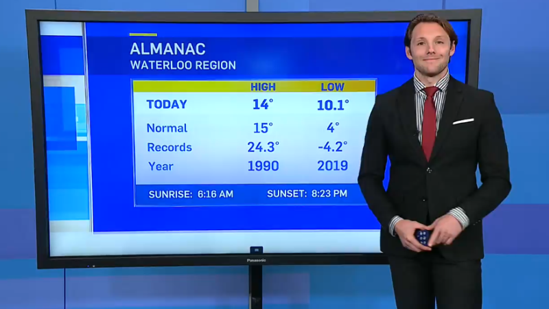
Normal temperatures for this time of year in Waterloo-Wellington are daytime highs of 26 C and overnight lows of 14 C.
Less than 6 mm of rain was recorded at the Region of Waterloo International Airport on Canada Day, following no rainfall at all in the second half of June.
