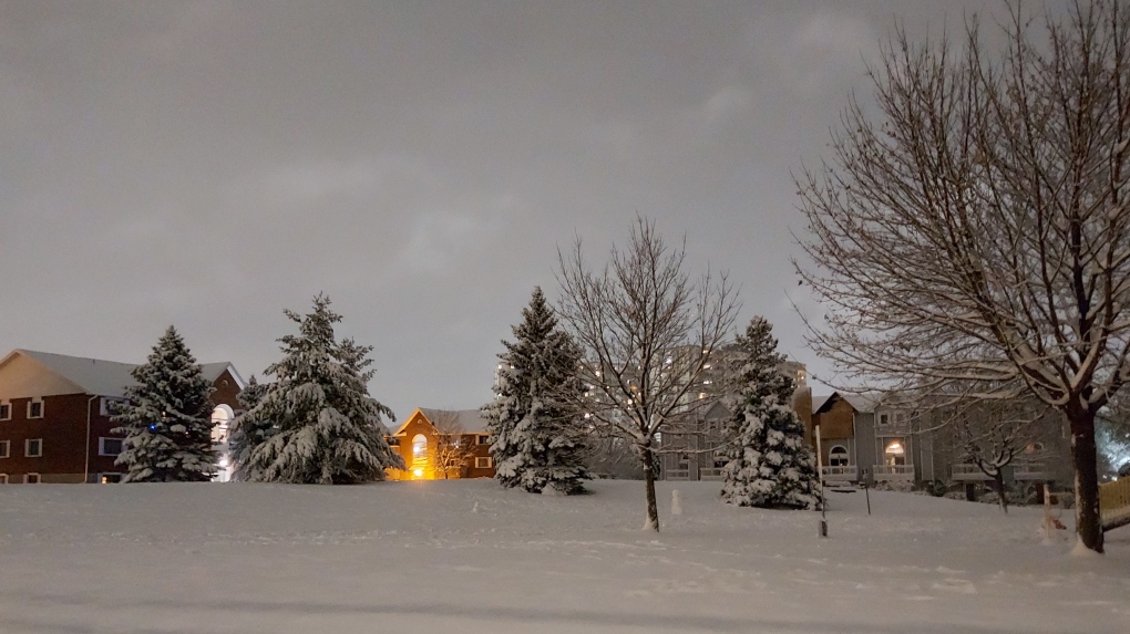
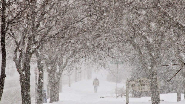
KITCHENER -- Kitchener broke a daily snowfall record on Sunday with 21 cm of snow and there's more on the way for southern Ontario as a warm front moves through ahead of a Colorado Low.
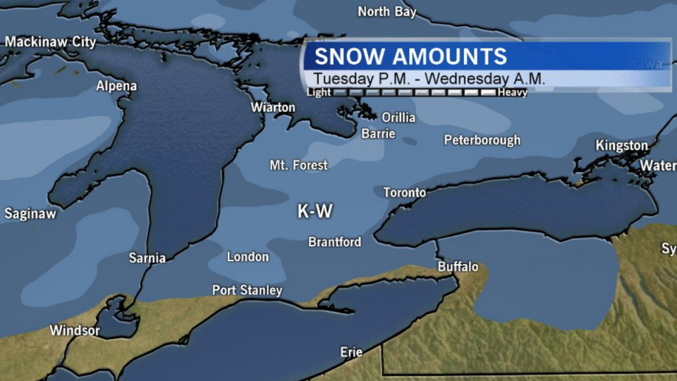
Clouds will continue to roll in ahead of the precipitation Tuesday. Scattered showers and wet flurries make their way to extreme southwestern Ontario late afternoon early evening and track east through the evening hours, transitioning to snow as temperatures fall.
Waterloo Region can expect a burst of snowfall late evening and overnight.
Temperatures will gradually rise to just above the freezing mark by Wednesday morning and to the mid-to-upper single digits by the afternoon, when precipitation will transition to showers.
Scattered showers will continue on Wednesday, developing into periods of rain late day and overnight.
Locally, between five and 10 cm of snow is forecast, as is between 10 and 15 mm of rain. Keep in mind precipitation may transition to showers by Wednesday morning for some communities.
