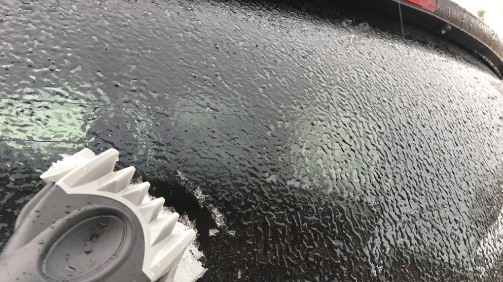
KITCHENER -- Thursday featured cloudy and cool conditions, with ice in some places due to the system that moved in Wednesday and the freeze behind it.
The new year starts off fairly calm, with the exception to some lake-effect flurries in the snow-belt regions, but the next system will make its presence known Friday afternoon and evening.
A low pressure system from Texas will continue its track toward Lake Erie, bringing the threat of a messy mix. Snow, rain, freezing rain and ice pellets are possible. Environment Canada has issued Special Weather Statements for this event, including Waterloo Region, Wellington County, Southern Grey County, Brant and Oxford Counties.
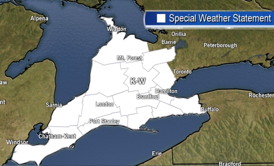
For parts of southwestern Ontario and the Golden Horseshoe, freezing rain is forecast to begin late Friday afternoon or early Friday evening. Freezing rain may be mixed initially with rain or snow, and will likely change back to rain or snow overnight.
There is potential for a prolonged period of freezing rain that could lead to ice accretion in some areas.
Areas such as Essex County, in extreme southwestern Ontario, are forecast to receive a period of freezing rain before precipitation transitions to rain later Friday afternoon or early Friday evening. Meanwhile, those in Grey Bruce, Northern Wellington and Dufferin counties are forecast to see a period of freezing rain Friday evening, with precipitation changing to snow later Friday night.
Environment Canada anticipates Freezing Rain Warnings are likely to be issued as the event draws closer and adds that there is still some uncertainty with the exact track of the system, which will affect the timing and duration of freezing rain.
Stay up to date on weather alerts here.
