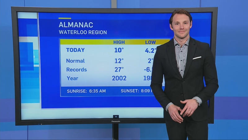
KITCHENER -- Temperatures took a tumble on Thursday with strong west-northwest winds gusting between 50 and 70 km/h for parts of Southern Ontario.
While some saw sunshine Thursday afternoon, other communities dealt with periods of rain and flurries.
Residents in Windsor reported hail and graupel in the afternoon, as thunderstorms moved through extreme Southwestern Ontario.
As the system that brought rain and snow overnight and into early Thursday tracks east, we’ll see wrap-around precipitation starting as showers and transitioning to flurries Thursday evening and lingering Friday.
Gusty Northwest winds could also contribute to lake-effect snow showers, especially for the traditional snow-belt regions including Grey Bruce and Huron Perth, where light accumulations are possible, particularly for higher elevations like the Dundalk Highlands.
For most, Friday afternoon will be precipitation-free with flurries ending in the morning.
Temperatures rebound to near-seasonal on Saturday with sunshine returning, but those conditions don’t last for when the Easter Bunny makes the rounds.
The next system is set to move in on Easter Sunday, bringing periods of rain through Monday for Southern Ontario and a swath of heavy snow to Northern Ontario.
Strong wind gusts can be expected as well with another shot of cold air moving back in by Tuesday.
Remnant moisture could then transition from rain to flurries early- to mid- week, as cooler temperatures are present in the long range.
