Environment Canada has issued a special weather statement for most communities across southwestern Ontario with a messy mix of wintry weather expected to begin Wednesday evening and last until Friday morning.
A low pressure system is expected to track northeast across Lake Erie and Lake Ontario Thursday night, which could bring a messy mix of wintry precipitation to southern Ontario. Precipitation will likely begin as rain late Wednesday and transition to snow Thursday afternoon.
Freezing rain and ice pellets are also possible Thursday afternoon and evening.
At this time, the track of the low pressure system is uncertain, and as such, precipitation type, timing and amounts may change.
MAJOR WARM-UP EXPECTED WEDNESDAY
The incoming mid-week storm will see temperatures soar well above freezing. In Waterloo Region, Wednesday’s daytime high is forecast to reach 6 C. Some areas will see some of their warmest weather for 2022 so far.
With it, comes a gusty southwest wind, from 50 km/h to 80 km/h for southern and central Ontario.
Periods of rain will begin to fill across southern and central Ontario by mid to late afternoon Wednesday. Periods of moderate to heavy rain are forecast to continue into Thursday morning.
The system could potentially produce some localized flooding since the ground is still frozen in many areas.
WATCH OUT FOR ICY CONDITIONS FRIDAY
As colder air moves back into the south, rain will transition into ice pellets, freezing rain and snow, especially in areas across the Nickel Belt and along Lake Huron. The timing of the front is still uncertain and will determine the overall impact and type of precipitation.
Temperatures transition and will be well below seasonal by Friday. Waterloo Region is expecting a day time high of -10 C to end off the work week.
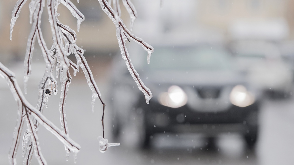
As temperatures tumble, there is concern it will lead to rapid freezing, and the threat for icy, slick roads and surfaces by Friday. This will likely impact the morning, and evening commute along the 401 corridor and on local roads.
TASTE OF SPRING EXPECTED NEXT WEEK
By the end of the weekend, a warming trend is expected, possibly bringing mild, even spring-like weather for multiple days in a row.
A taste of spring will be a welcome treat after the messy mix of winter weather we’re expecting to see over the next few days.
But keep in mind, we’re likely not done with the snowy season just yet.
