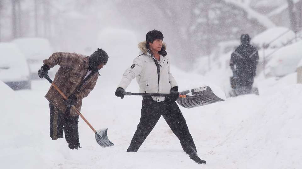
Waterloo Region will likely see 5 cm of snow on Saturday, followed by mixed precipitation Saturday night and further snow on Sunday, Environment Canada says.
A low-pressure system moving eastward over Lake Huron will collide with a second low-pressure front.
As a result, forecasters aren’t sure exactly what precipitation will fall on southern Ontario and which areas will be hit – but in general, Environment Canada expects snowfall to begin early Saturday morning, with more significant precipitation beginning in the late afternoon hours.
For Waterloo Region, that means snow off-and-on all day long, with 2 to 4 cm of ice pellets predicted to fall at night. Snow is expected to continue Sunday, although total accumulation is uncertain.
Temperatures will also warm up significantly under the storm’s path, with highs expected to approach the freezing mark particularly in areas from Waterloo Region west.
Local weekend forecasts for other parts of our coverage area:
Oxford-Brant: Snow beginning early Saturday morning; daytime high of -1 C about 5 cm of snowfall expected before sunset. Mixed precipitation starts Saturday; 2 to 4 cm of ice accumulation likely. Freezing rain expected Sunday, with high of 0 C.
Guelph and Wellington County: Light snow moving in overnight; 5 to 10 cm of accumulation expected Saturday with a high of -5 C. Switching to mixed precipitation at night, additional 2 to 4 cm of snow and ice forecast. More snow Sunday, high around -3 C.
Huron-Perth: Snow beginning before sunrise and continuing through the day; total around 5 cm; daytime high -1 C. Ice pellets mixed with snow and freezing rain Saturday night; 2 to 4 cm of ice accumulation expected. Periods of snow Sunday, with high of -1 C.
Grey-Bruce: Flurries ending Friday evening; snow beginning again overnight. 2 to 4 cm likely before sunrise, followed by 5 to 10 cm of snow during the day. Snow and ice pellets falling Saturday night, with more snow Sunday. Daytime highs of -5 C on Saturday and -6 C on Sunday.
