The start of the week is likely to bring us the rainiest weather we’ve seen in months.
Environment Canada says Waterloo Region and the Guelph area will likely see as much as 25 mm of rain by Tuesday morning, with another 25 to 50 mm by Wednesday morning.
The rain will be accompanied by a brief warm spell, with Waterloo Region expected to see temperatures rise to 8 C on Monday and 10 C overnight, then 14 C on Tuesday. Temperatures are expected to hover around the 10 C mark Tuesday night and into Wednesday before returning back below 0 C.
The combination of rainfall and melting snow had authorities warning of the potential for sudden localized flooding, particularly in areas with poor drainage.
Flooding is also considered to be a significant concern across the Grand River watershed, the entirety of which was placed under a flood warning by the Grand River Conservation Authority.
According to the GRCA, water levels were expected to peak Monday night in Cambridge, with flooding concerns highest in the Blair area and along the Speed River in Preston, downstream of King Street. Blackbridge Road could also be washed out.
Monday afternoon was expected to bring water levels high enough to force a closure of the low-level bridge on Three Bridges Road near St. Jacobs.
By Tuesday afternoon, the GRCA said, attention would turn to potential flooding around New Hamburg, Drayton and Grand Valley.
High levels in the Nith River were expected to hit Ayr by Wednesday afternoon, while the Grand was expected to peak in Brantford Wednesday afternoon and Cayuga late Wednesday night.
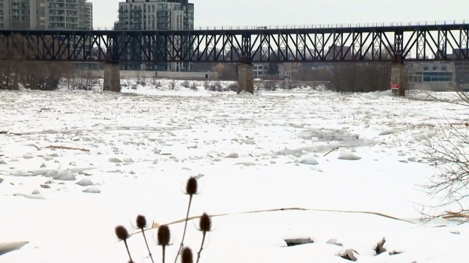
Ice jam flooding was a particular concern, with jams in place in Cambridge and Cayuga. Ice jams can cause water to flow in unusual patterns and directions.
Flood watches were issued by the Saugeen Valley Conservation Authority and Long Point Region Conservation Authority. It was not clear exactly which areas under those jurisdictions were most likely to experience flooding.
