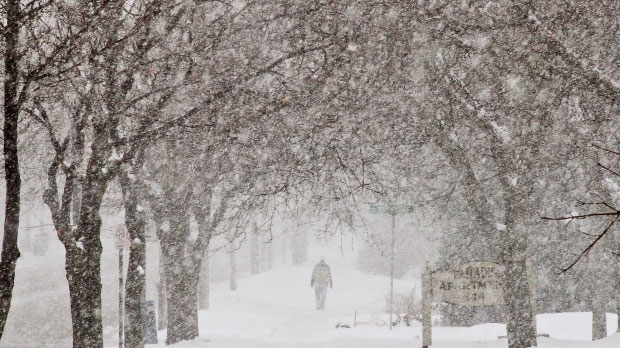
Here are some quick facts about Monday's winter storm:
- This is the first major snowfall in Southern Ontario – a low pressure system that’s tracking across the lower great lakes is what’s bringing us this storm.
- This could be the largest snow fall event on record this early in the season.
- Communities under advisories are where we will likely see the most snowfall. As of 12:30 p.m., Waterloo Region and Wellington County are under a winter weather travel advisory. As snow accumulates throughout the afternoon, travel will be impacted, particularly during the afternoon and evening commute. We’re expecting to see the heaviest amount of snow during that time.
- We’re expecting 12 to 15 cm of snow.
- Areas hit the hardest (Hamilton/Niagara regions) are expecting upwards of 30 cm.
- Lake-effect snow begins to develop along the southern shores of Lake Huron and Georgian Bay tonight and intense squalls are expected to develop off of Lake Huron – affecting mostly Sarnia, but could also affect the Windsor area too.
- Although snow isn’t always going to be coming down heavily, the danger for the roads is that we could be seeing snow fall consistently for up to 24 hours.
- Could be historic: While Monday's storm will definitely crack the top 10 for heaviest amounts ever recorded at Toronto's Pearson International Airport in all of November, there's the potential for it to be the highest amount of snow this early in the season -- on or prior to November 11. The current number one spot belongs to a storm on November 6, 1951 that dropped 13.2 cm of snow at the airport.
