KITCHENER -- We have seen plenty of sunshine this week, although temperatures ending the work-week are on the chilly side of seasonal after a slight taste of spring just a few days ago.
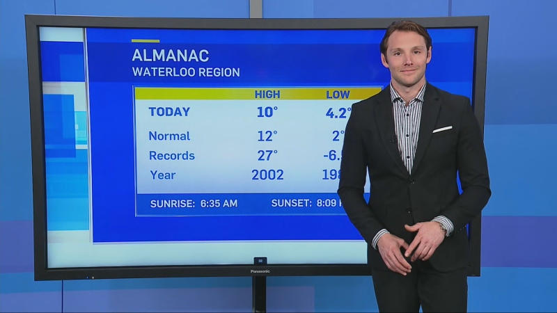
The seasonal high for Waterloo Region is about 1 degree Celsius, with a low of roughly -8 C.
A gusty northwest wind contributed to the weather Friday, creating lake-effect snow for some communities including parts of Huron Perth and Grey Bruce. It will be breezy Saturday with brisk temperatures once again, but the sunshine for most is set to continue.
Areas south of Lake Huron and Georgian Bay could see up to 15 cm of snow in some locations due to lake-effect snow by Saturday afternoon, prompting snow squall watches for several areas in the snow belt regions Friday.
A southwest wind replaces a northwest wind early next week, bringing some mild conditions. Temperatures next week are forecast to hit double digits and even reach the teens in some communities in southwestern Ontario.
At this point, forecasts suggest temperatures in KW will hover around freezing Sunday and creep above 0 to near 5 C Monday. Tuesday will be our best shot at double digits locally, and maybe even low teens. Although the next system brings widespread rain Wednesday and Thursday.
The last time the temperature at the Region of Waterloo International Airport hit double digits (above freezing that is) was Nov. 20, 2020 when the high was a balmy 16.6 C.
Many would agree winter this season hasn’t been all that bad, with temperatures well above average, with exception to the month of February.
The University of Waterloo Weather Station Monthly Summary found that the overall temperature in KW was 2 degrees under average, making it the coldest February since 2015.
The weather station recorded a maximum temperature of 7.2 C in Feb. and a minimum temperature of -23.6 C.
The data collected at the weather station also found that “almost half of the total snowfall for the month of 38.5 cm came on the 16 when 17 cm came down,” the Weather Station said in a release. Adding, “the total for February was above the average of 30.3 cm. The total for the snowfall season of 128.0cm is very close to the 125.6cm we could expect at this point in the season.”
The Spring Equinox takes place on March 20 at 5:37 a.m.
